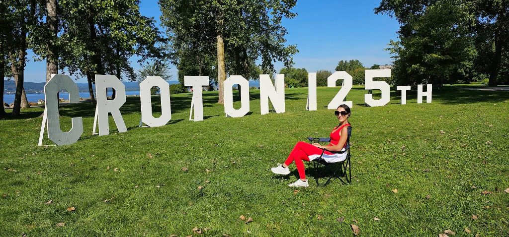
Croton Landing Park

Croton Landing Park was the site of a former asphalt batching plant and at various times in its past, the land had been the site of brick works and a location for depositing fill from construction done in NYC. This property is a 30-acre site bounded on the west by the Hudson River and on the east by the Metro North/Amtrak railroad.
The property was formerly owned by the Ottaviano family and was referred to as the Seprieo property. The letters in “Seprieo” represented the initials of the Ottaviano children.
Before Route 9 was created, several streets in the Village led to the Hudson River, although the railroad tracks had to be crossed to get there. With the advent of Route 9, the property was almost impossible to reach or to utilize except by some determined fishermen. Over time, it became overgrown and strewn with trash both dumped there and washed up from the river.


In the late 1980’s a ten-story residential development named Mariner’s Cove was proposed for the property, but the problem of access to the site was not solved.
In 1995, the property was subdivided into two lots. Lot 1 is 16.6 acres (of which 9.7 acres are underwater) and Lot 2 is 13.4 acres (of which 6.0 acres are underwater). Lot 2 was conveyed to the Village of Croton-on-Hudson and Lot 1 was conveyed to the Beaverkill Conservancy, Inc., a nonprofit land acquisition affiliate of the Open Space Institute.
